Ohakune - Turakina
New to the Kiwi Randonneurs calendar, These rides take in some of the best country between Whanganui and Ohakune. Starting in Ohakune, we have three choice routes that should have something for everyone.
This brevet series runs on the 17th of May 2025 at 7.30 am from the Information Centre on Clyde Street in Ohakune.
All of our routes are weather-dependent and may change at short notice.
60 km Route
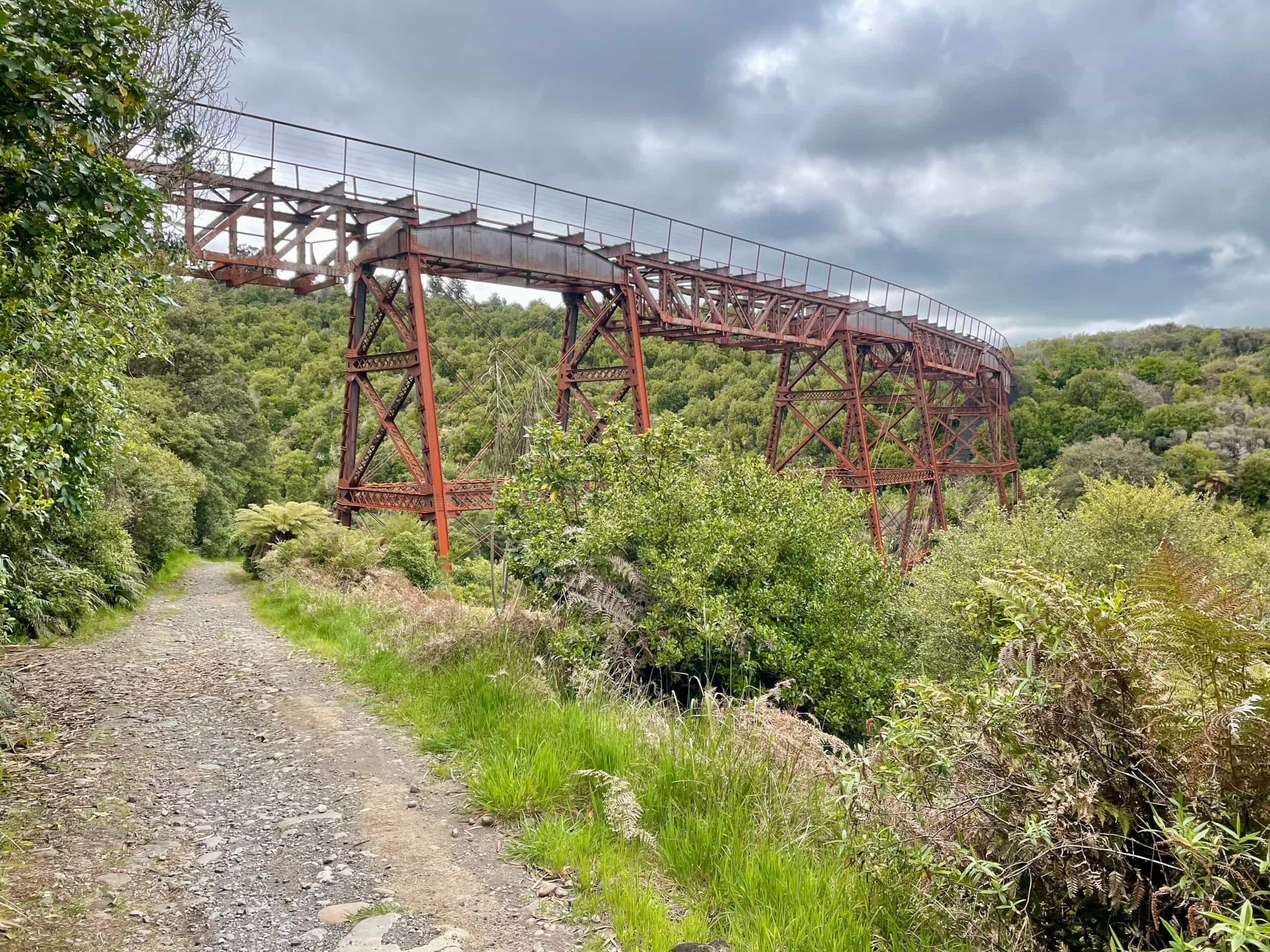
While this is a shorter route, it packs a lot of scenery into 60km, taking the rider on the old coach road from Ohakune to Horipito, Ratahei, and then home. While you can ride this on a gravel bike, a mountain bike is also a good choice.
690 metres of climbing and 49% unpaved
https://ridewithgps.com/routes/45981191
200 km Route
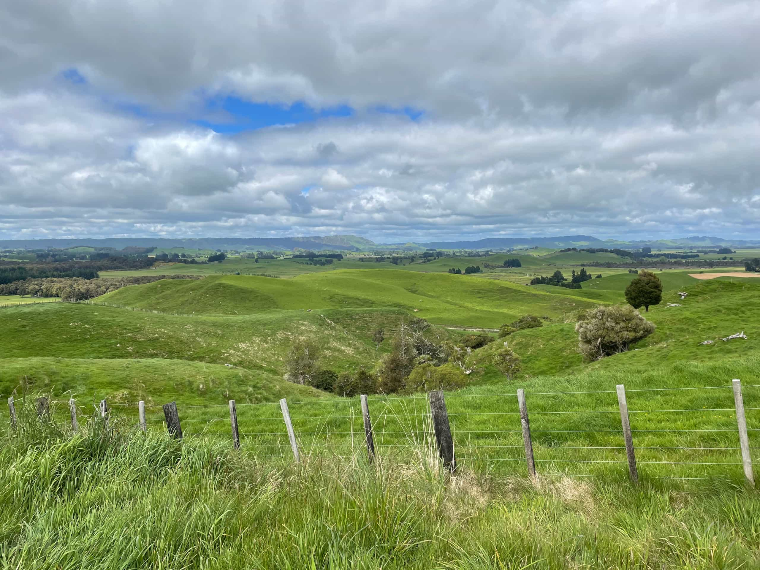
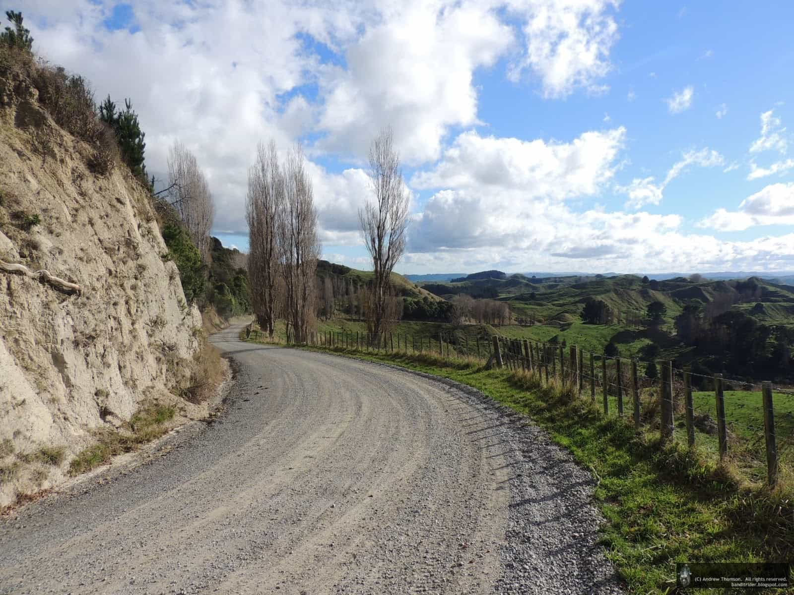
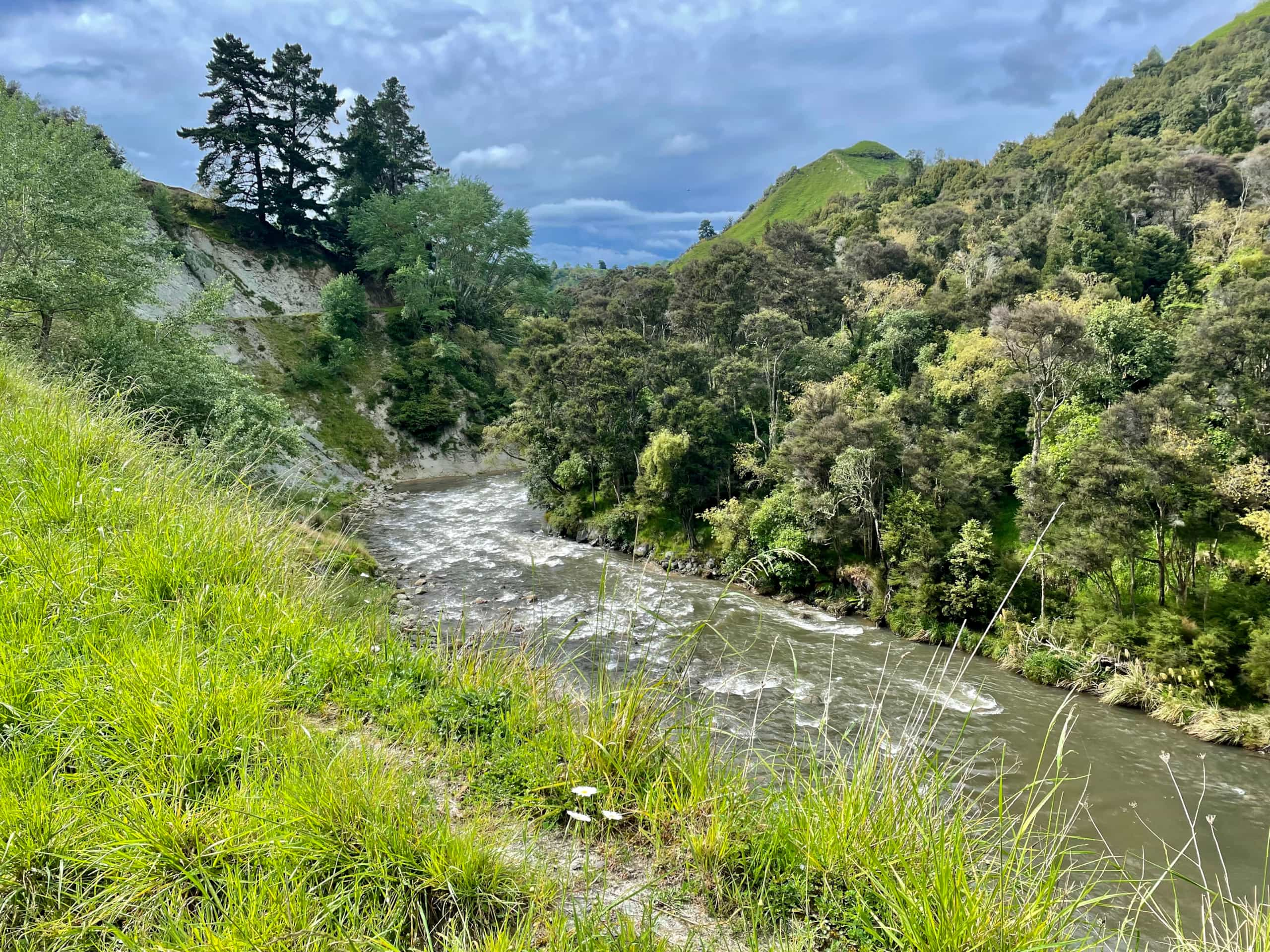
This is 208 km of gravel goodness. Starting and finishing in Ohakune, a short highway stint takes riders to Whangaehu Road, then onto the Turakina Valley, which is mostly unpaved, following the Turakina River down to the 109km mark where you head west, then back up Mangamahu Road that rejoins Whangaehu Road where you retrace your route back to Ohakune.
2796 metres of climbing, some of it steep and 46% unpaved.
https://ridewithgps.com/routes/44013868
 Admin Login